Project Description
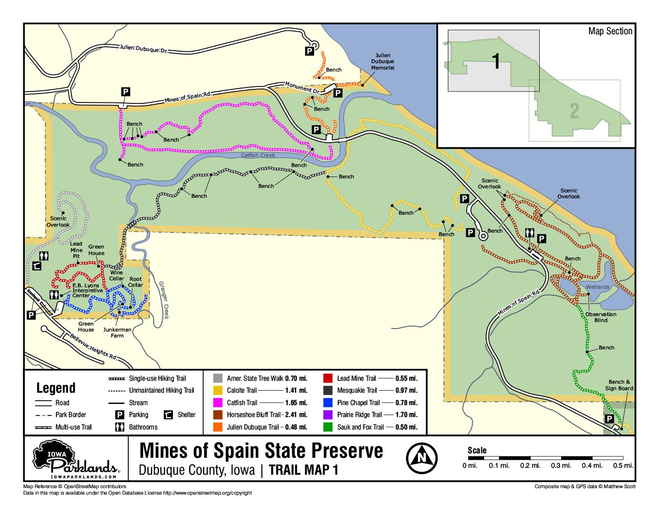
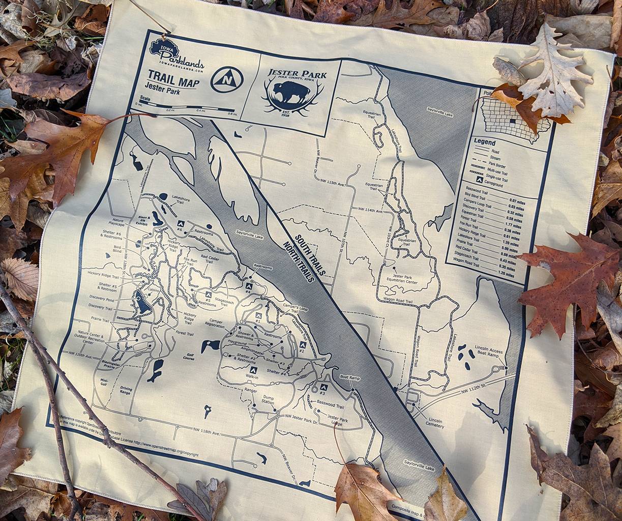
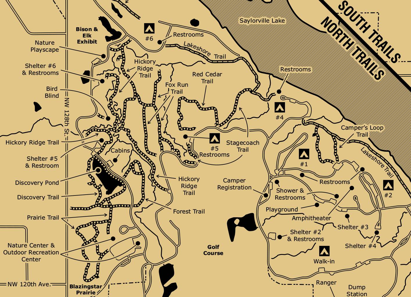
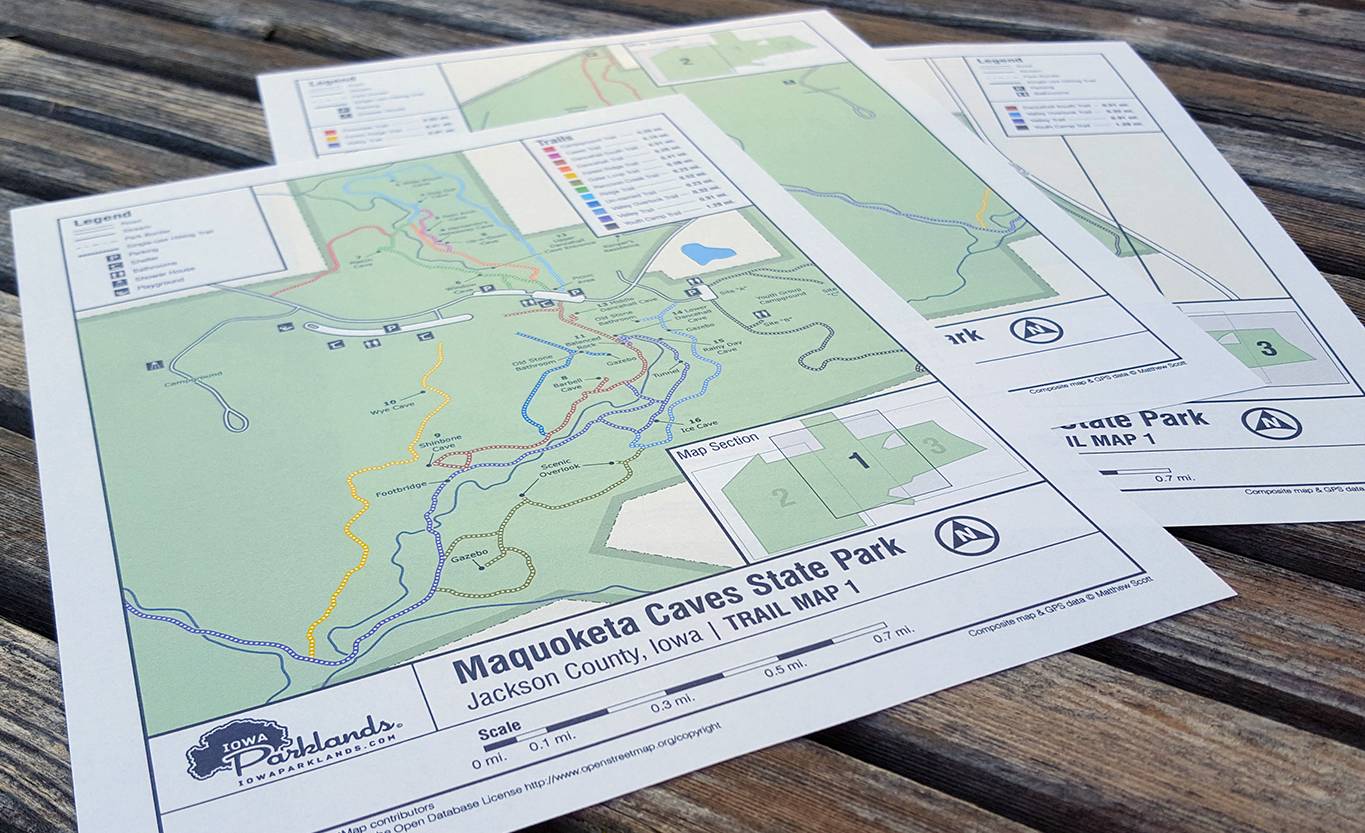
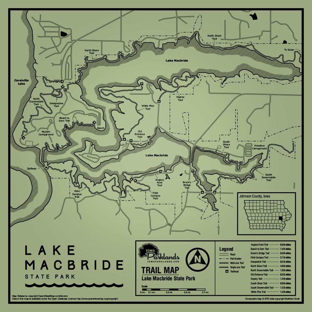
I’ve been creating maps of Iowa parks since 2012 for my online business Iowa Parklands. After acquiring the GPS data by hiking the trails myself, I create maps and then apply the graphics to products that are sold at events and online. I have also partnered with the Iowa Walking Club to create American Volkssport Association compliant hiking maps (20 Parks in 2020). The tools I use are a GPS, various GPS mapping applications, CorelDRAW and Adobe Photoshop.
I’ve been creating maps of Iowa parks since 2012 for my online business Iowa Parklands. After acquiring the GPS data by hiking the trails myself, I create maps and then apply the graphics to products that are sold at events and online. I have also partnered with the Iowa Walking Club to create American Volkssport Association compliant hiking maps (20 Parks in 2020). The tools I use are a GPS, various GPS mapping applications, CorelDRAW and Adobe Photoshop.