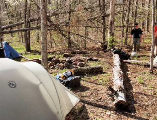
Map of the route “Ozark Trail – Spring 2009”: 14.11 mi, 4,954 ft of climbing and 5,115 ft of descent, elevation between 1,001 ft and 1,824 ft, time 39:45:06. It starts at 37.54999, -90.68412 and ends at 37.54874, -90.67973 (latitude, longitude).

Map of the route “Ozark Trail – Spring 2009”: 14.11 mi, 4,954 ft of climbing and 5,115 ft of descent, elevation between 1,001 ft and 1,824 ft, time 39:45:06. It starts at 37.54999, -90.68412 and ends at 37.54874, -90.67973 (latitude, longitude).




Leave A Comment