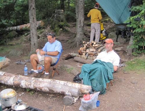
Map of the route “Boundary Waters – Summer 2009”: 24.16 mi, 5,394 ft of climbing and 5,344 ft of descent, elevation between 1,539 ft and 1,909 ft, time 71:19:52. It starts at 47.86362, -90.88790 and ends at 47.86364, -90.88491 (latitude, longitude).

Map of the route “Boundary Waters – Summer 2009”: 24.16 mi, 5,394 ft of climbing and 5,344 ft of descent, elevation between 1,539 ft and 1,909 ft, time 71:19:52. It starts at 47.86362, -90.88790 and ends at 47.86364, -90.88491 (latitude, longitude).

Leave A Comment